Politics & Government
Georgetown Boathouse Zone: Community Offers a Range of Visions
The four-hour public workshop Saturday morning yielded a range of views for how the waterfront should be used.

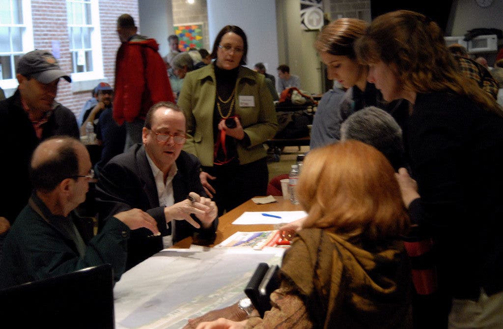


Rowers, paddlers, swimmers, cyclists and others, some 85 people in total, came out Saturday morning to weigh in on the proposed non-motorized .
After four hours of discussion, planning, questions and comments, the group generally agreed on a few items:
- There should be at least two new boating facilities/launch points added to the Georgetown Watefront area;
- There should be increased access for a range of other uses, other than boathouses, with support for at least one public access point;
- Parking should be a consideration in any plan;
- The Washington Canoe Club should be preserved and its use maintained.
Beyond those points, the group was conflicted over the location, size and number of facilities for collegiate, scholastic and other uses.
Find out what's happening in Georgetownwith free, real-time updates from Patch.
The workshop broke the attendees into teams, which used a map of the proposed area to create their suggestions for how to use the space NPS is considering for development.
Team Two, composed mostly of Georgetown University representatives, advocated for keeping both the and the Washington Canoe Club (WCC) in their current locations. They also suggested creating two collegiate boathouse facilities, one at the far western edge of the project area and one just to the east of the Key Bridge. GU is interested in developing the far western site, as the university has proposed in the past.
Find out what's happening in Georgetownwith free, real-time updates from Patch.
Two other spaces would be public use sites, one next to the Key Bridge (near or at the location) and another between the Potomac Boatclub and WCC, which could potentially be another collegiate location.
GU also proposed a variety of access points for the public, be they paddlers or just pedestrians. "We saw the waterfront as being a very permeable place for the public to access the water," explained Bill Kirwan on behalf of the GU team.
Another theme from several of the teams was that they wanted to restrict vehicular traffic beyond on the old acqueduct and near the Capital Crescent Trail.
There was also a sense from several presenters that any new development should be scaled and built in a way that shows a transition from the busier, more-developed waterfront area at the east, to a lower-density, more natural environment to the west. One person described this as a transition from "city to country."
Another theme was the desire for progress and results, as one team member remarked, "At a certain point, we've talked enough."
The public can offer comment to help inform a feasibility study through 11:59 p.m. Mar. 30, 2012.
NPS will take the information from online comments, private meetings with stakeholders and from the public meeting Saturday to develop a feasibility study during the spring and summer months of 2012. By late summer/early fall NPS has committed to hosting a public meeting to discuss the results of that study.
Patch will continue to provide updates as new information becomes available.
Get more local news delivered straight to your inbox. Sign up for free Patch newsletters and alerts.

